
Prince Edward Island Map | Print
Prince Edward Island Map | Print
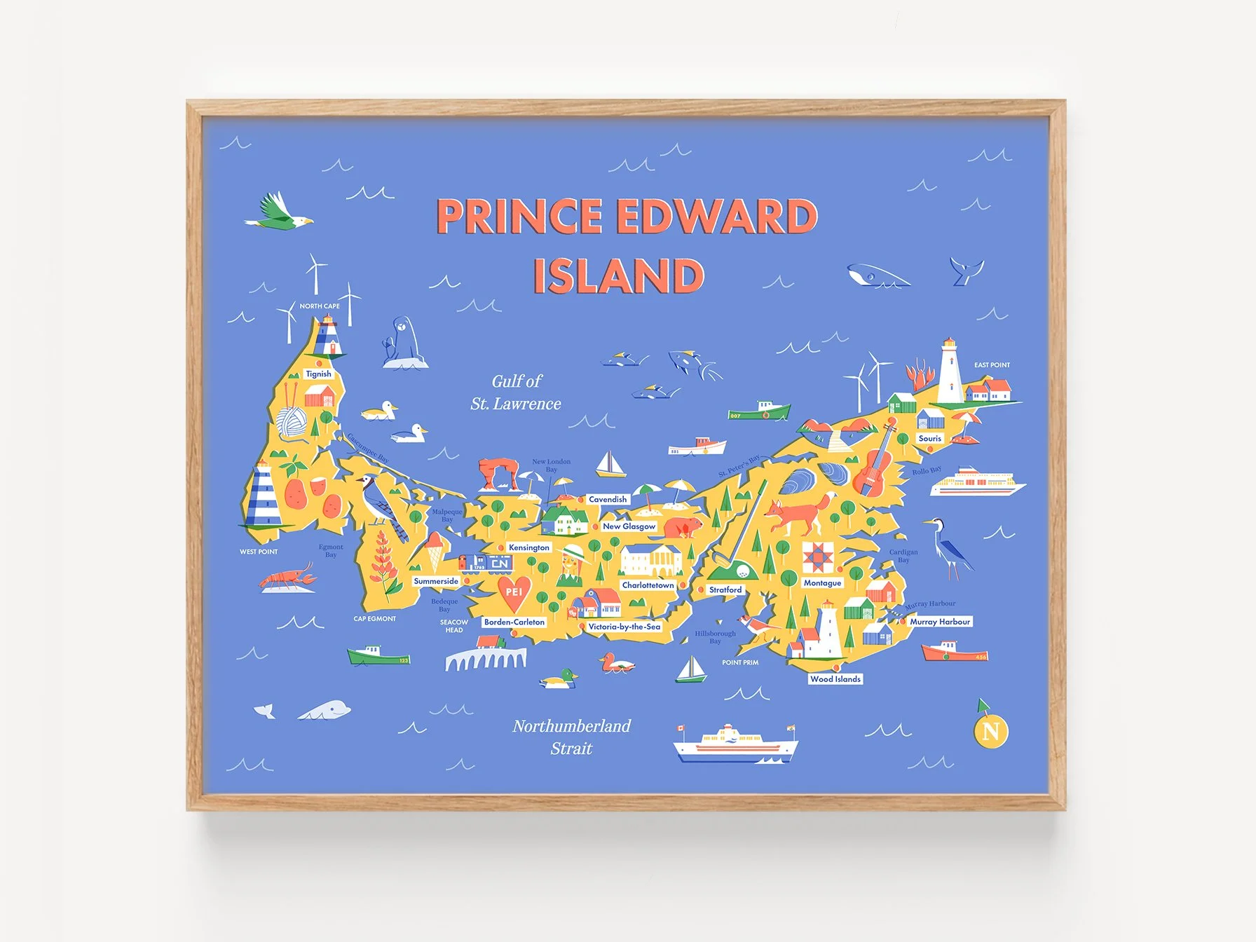
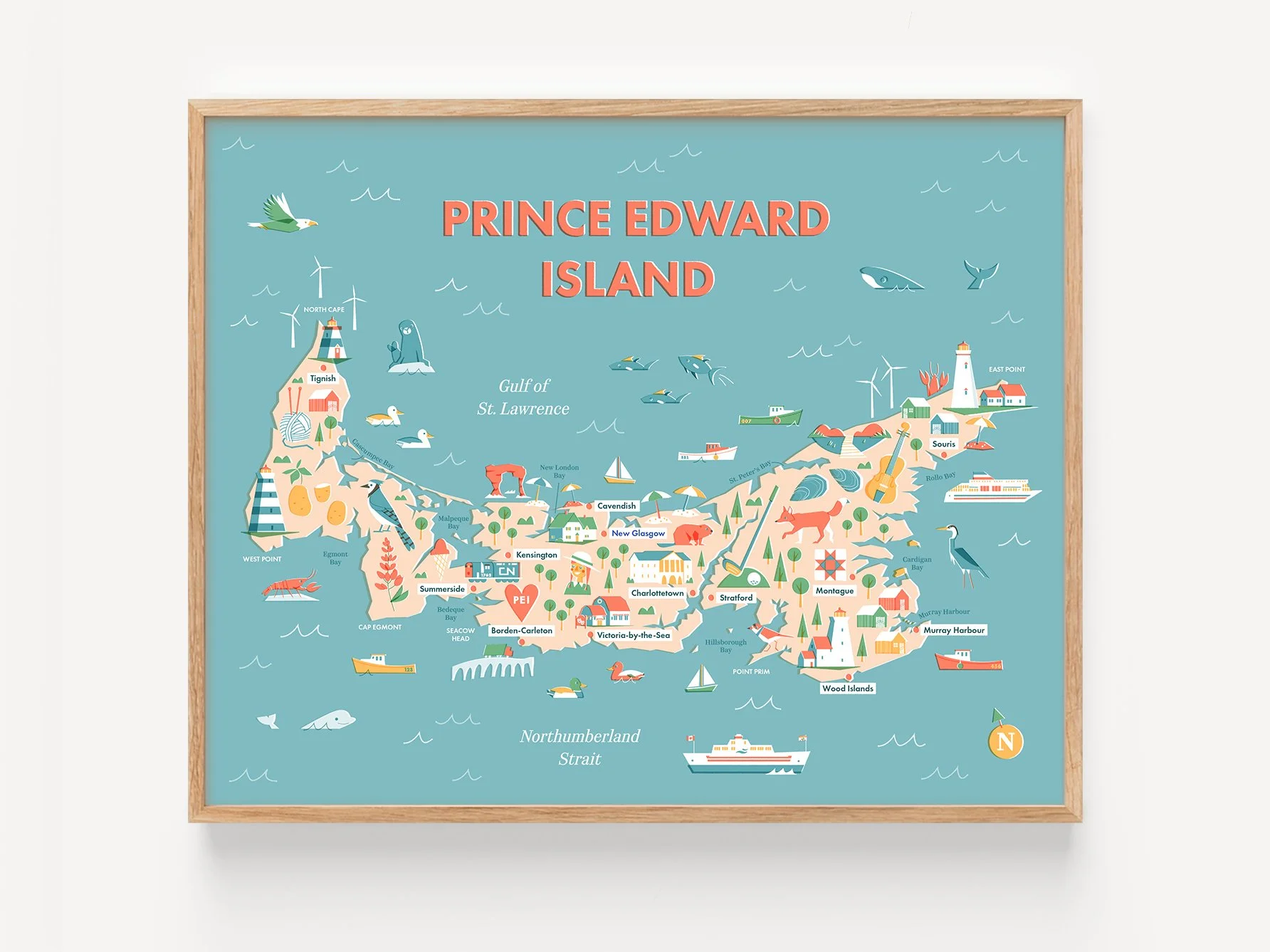
This brightly-coloured map of PEI features cities, towns, parks, and landmarks of Canada's smallest province, plus lots of little details (foxes, lighthouses, and lobster – oh my!). It's inspired by my own travels to 'The Island'.
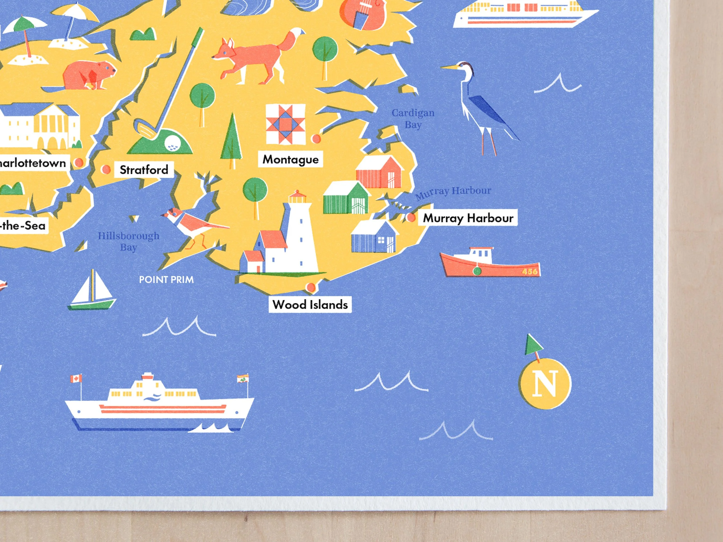
Printed in studio using beautiful cotton paper, museum-quality inks, and vintage-inspired print effects.
DETAILS
Made from heavyweight cotton paper and museum-quality ink
Signed on the back in pencil
Printed and hand cut (by me!) in Canada
The colours on the physical print may look slightly different than pictured, depending on how your screen is calibrated. Frame not included.
SHIPPING INFORMATION
Orders ship in 3-5 business days from Toronto, Ontario
8×10s ship untracked via Canada Post Lettermail
11×14s ship tracked via Canada Post Expedited Parcel